
ފައިލު:Dhaalu Atoll.png

Size of this preview: 646 × 600 pixels. Other resolutions: 259 × 240 pixels | 517 × 480 pixels | 827 × 768 pixels | 1,103 × 1,024 pixels | 1,491 × 1,384 pixels.
Original file (1,491 × 1,384 pixels, file size: 69 KB, MIME type: image/png)
| Description |
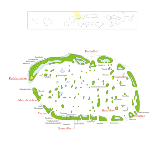
ހުލާސާMap of w:Alif_Dhaal_Atoll Map originally vector'ed by Hassan Waheed, Aabaadhuge of Thinadhoo island. Note: This section of map was extracted and its text was romanized by Oblivious. Special assitance by Waddey and Zuru Converted to PNG by helix84
|
| ތާރީހް | |
| މަސްދަރު | |
| މުސައްނިފު | helix84 |
| ހުއްދަ (Reusing this file) |
GFDL content from English Wikipedia |
| This file is licensed under the Creative Commons Attribution-Share Alike 3.0 Unported license. Subject to disclaimers. | ||
| ||
| This licensing tag was added to this file as part of the GFDL licensing update. |

|
Permission is granted to copy, distribute and/or modify this document under the terms of the GNU Free Documentation License, Version 1.2 or any later version published by the Free Software Foundation; with no Invariant Sections, no Front-Cover Texts, and no Back-Cover Texts. A copy of the license is included in the section entitled GNU Free Documentation License. Subject to disclaimers. |
ޞަފްޙާގެ ތާރީޚް
Click on a date/time to view the file as it appeared at that time.
| ތާރީޚް/ގަޑި | ތަމްބްނެއިލް | Dimensions | މެމްބަރު | ޚިޔާލު | |
|---|---|---|---|---|---|
| މިހާރު | 18:00, 27 އޮކްޓޫބަރު 2014 | | 1,491 × 1,384 (69 KB) | SteinsplitterBot | Bot: Image rotated by 90° |
| 04:05, 29 އޮކްޓޫބަރު 2006 |  | 1,384 × 1,491 (75 KB) | Helix84 | {{Information |Description=== Summary == Map of w:Alif_Dhaal_Atoll Map originally vector'ed by Hassan Waheed, Aabaadhuge of Thinadhoo island. '''''Note:''' This section of map was extracted and its text was romanized by [[:en:User:Oblivious|Obliviou |
ފާލަންތައް
The following page uses this file:
Global file usage
The following other wikis use this file:
- Usage on bn.wikipedia.org
- Usage on ceb.wikipedia.org
- Usage on de.wikipedia.org
- Usage on de.wikivoyage.org
- Usage on en.wikipedia.org
- Usage on es.wikipedia.org
- Usage on fa.wikipedia.org
- Usage on fr.wikipedia.org
- Usage on id.wikipedia.org
- Usage on it.wikipedia.org
- Usage on ko.wikipedia.org
- Usage on nl.wikipedia.org
- Dhaalu-atol
- Aluvifushi
- Maafushi (Dhaalu Atoll)
- Bodufushi (Dhaalu-atol)
- Hiriyanfushi (Dhaalu-atol)
- Lhohi (Dhaalu-atol)
- Maadheli
- Maagau
- Bulhalafushi
- Dhebaidhoo
- Dhoores
- Enboodhoofushi
- Faandhoo
- Gaadhiffushi (Dhaalu-atol)
- Minimasgali (Dhaalu-atol)
- Olhuveli (Dhaalu-atol)
- Valla (Dhaalu-atol)
- Maléfaru
- Meedhuffushi
- Naibukaloabodufushi
- Hudhufusheefinolhu
- Hulhuvehi
- Issari
- Kanneiyfaru
- Kedhigandu
- Kiraidhoo
- Thinhuraa
- Thilabolhufushi
- Vallalhohi
- Velavaroo
- Vonmuli
- Zuidelijke Nilandhé-atol
- Usage on pl.wikipedia.org
View more global usage of this file.